
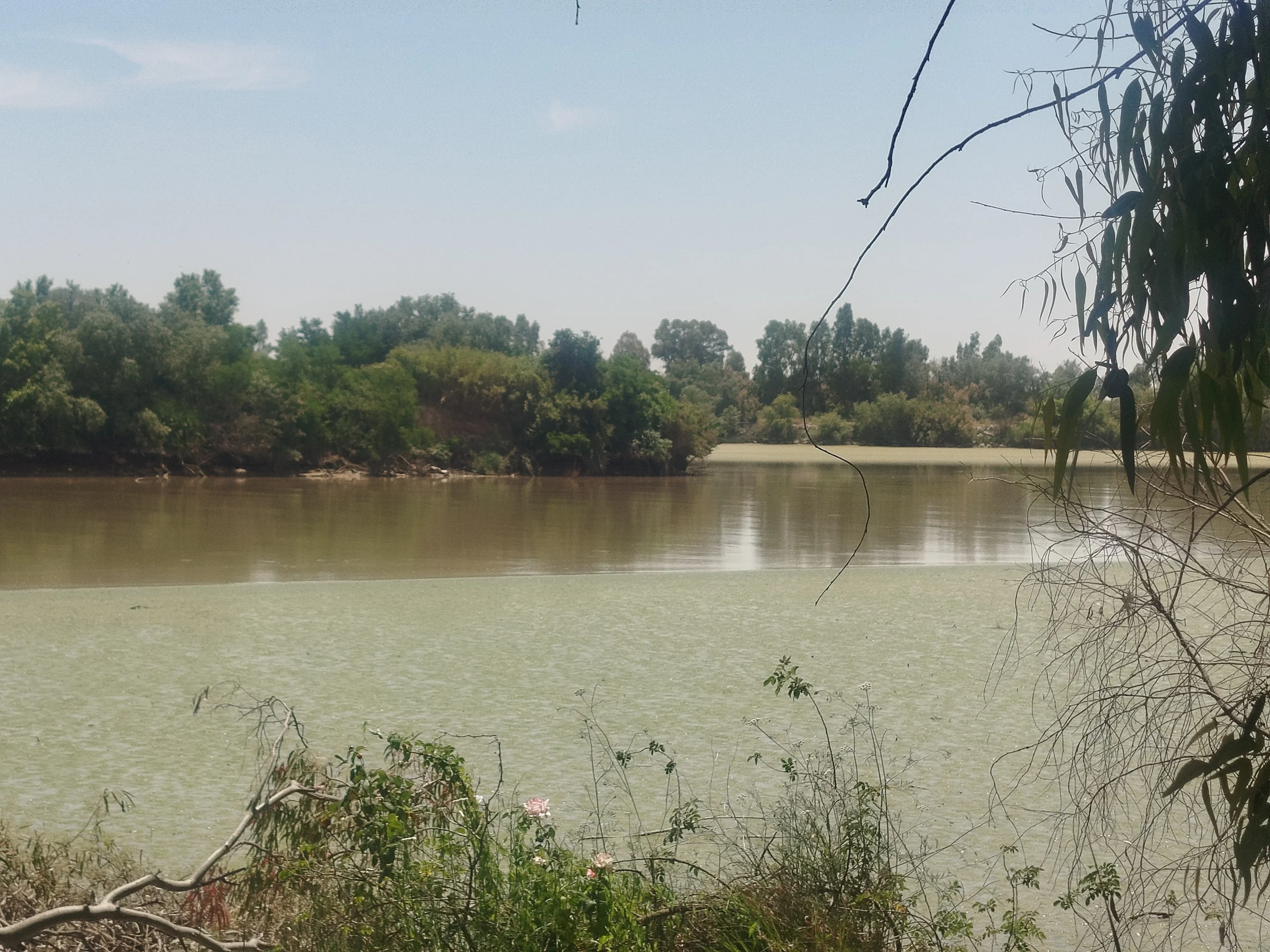
On May 27th and 28th, 2025, the BARRIER Project team visited the Guadalquivir River estuary to gather information about the tidal flats in the area. The visit began at the dam and hydroelectric power station in Alcalá del Río, which marks the upper limit of the estuary, and continued downstream to the bifurcation between the present and former river near the Guadalquivir Lock (Seville, image 1); the recreational boat docking pier (Trebujena); the salt marshes near the bird observatory at Salinas de Bonanza (Bonanza); and the San Salvador Bastion (Sanlúcar de Barrameda, image 2).
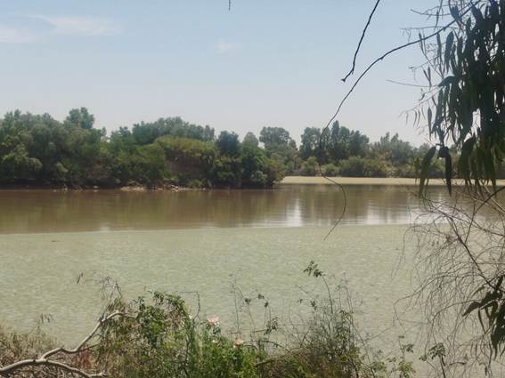
Image 1. Tidal flats near the bifurcation of the present (foreground) and former Guadalquivir River.
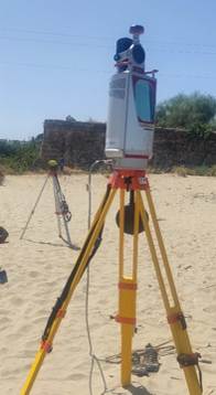
Image 2. LIDAR 3D terrestrial laser scanner (front) and Maxor GNSS Receiver (back) installed to conduct the first topographic survey of the tidal flats at the estuary’s mouth.