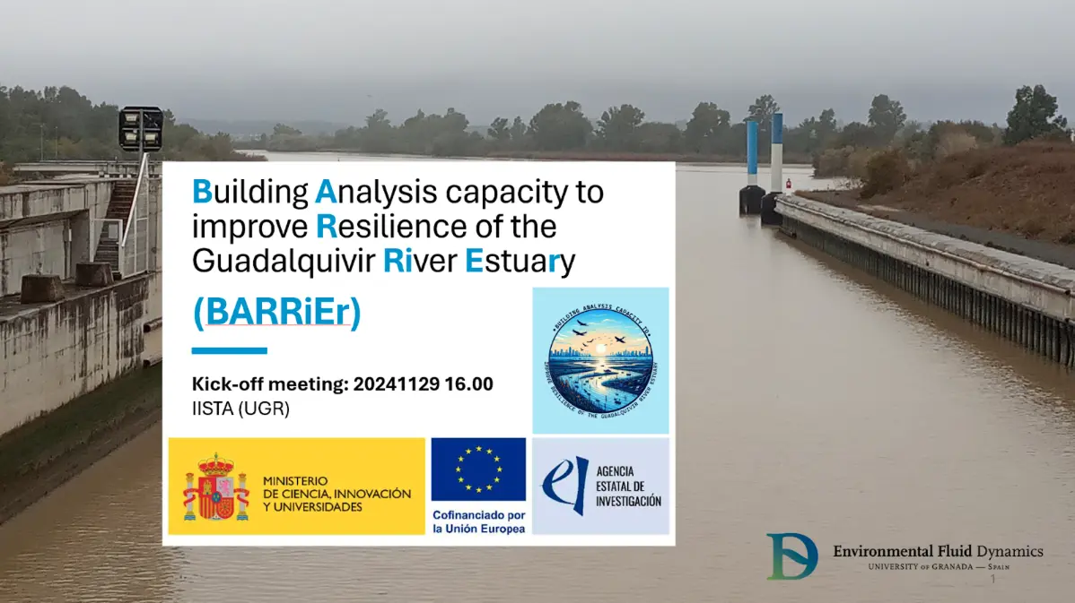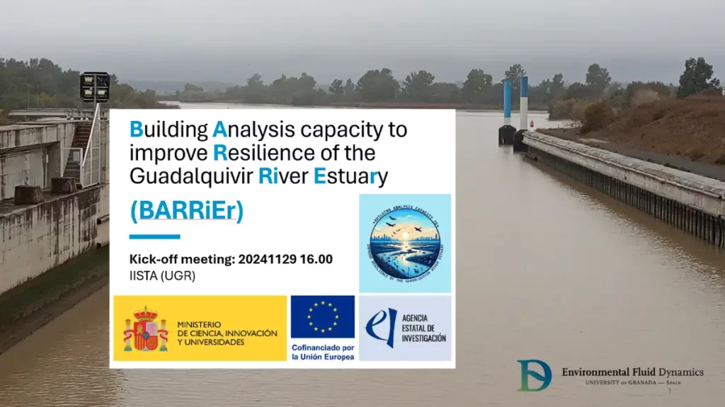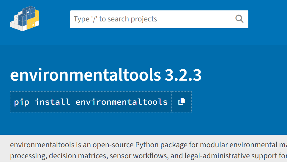
We’re excited to announce that environmentaltools, a Python-based toolkit developed as part of the Barrier project, is now publicly available as a free and open-source package on PyPI, with full documentation hosted on Read the Docs.
What is environmentaltools?
environmentaltools is a comprehensive Python package for environmental data analysis and visualization. Developed within the Barrier project and by the Environmental Fluid Dynamics Group (GDFA) at the University of Granada, it brings together specialized functions for tackling problems in maritime engineering, climate studies, hydrology, and environmental data science.
Its modular architecture includes:
- 📦 Common module: utilities for reading/writing data, statistical analysis, and model handling.
- 🌐 Download module: access to datasets from CORDEX, Google Earth Engine, OpenStreetMap, Marine Copernicus (ERA5), and more.
- 🚁 Drone module: tools for scan pattern generation, mission planning, and integration with other modules.
- 📊 Graphics module: spatial visualizations, regime analysis, joint distributions, and process plots.
- 🌊 Process module: wave analysis, load functions, file generation, and specialized calculations.
- 🗺️ Spatial module: geospatial analysis and spatial data manipulation.
- 📈 Spectral module: spectral and harmonic analysis (e.g., tides), prediction, and time series reconstruction.
- 🕒 Temporal module: statistical fitting, simulations, regime analysis, classification, and copulas.
- 🌍 Spatiotemporal module: Bayesian analysis, threshold-based indicators, multicriteria evaluation, and raster processing.
This structure allows users to perform everything from basic data handling to advanced environmental modeling, with a focus on reproducibility, flexibility, and scientific rigor. It’s built to be lightweight, extensible, and easy to integrate into scientific, technical, and educational projects.
You can install it via PyPI: pip install environmentaltools and you can find the Documentation on: https://environmentaltools.readthedocs.io
Commitment to Open Science
By releasing environmentaltools as open-source software, the Barrier project reinforces its commitment to transparency, reproducibility, and interdisciplinary collaboration. We hope this tool will serve as a bridge between researchers, educators, environmental professionals, and decision-makers.