Participation in the Spanish Coastal and Port Engineering Conference (Huelva, 2026)

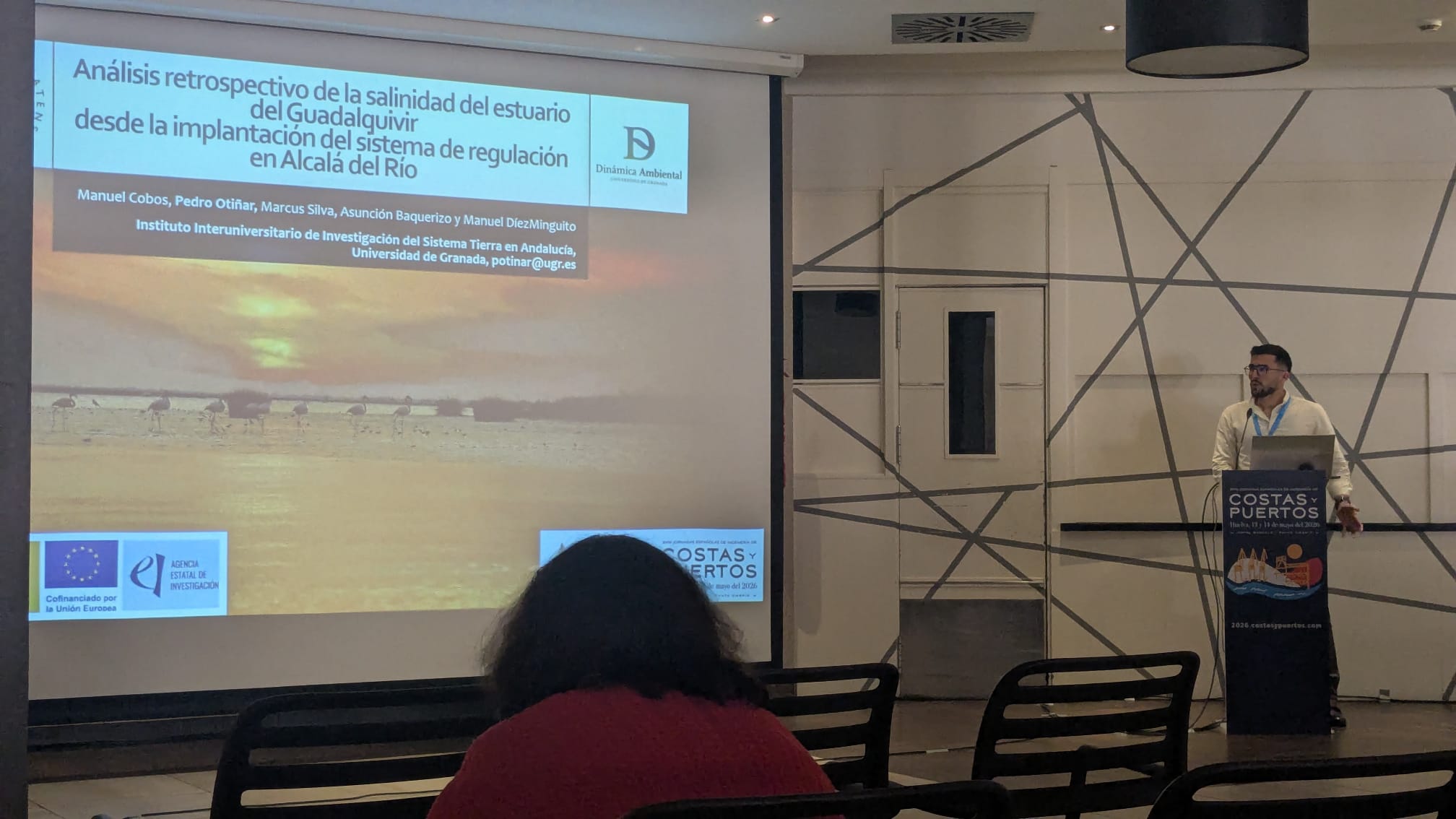
Pedro Otiñar participated in the Spanish Coastal and Port Engineering Conference, held in Huelva on 13–14 May 2026, presenting the study “Retrospective analysis of salinity in the Guadalquivir Estuary since the implementation of the regulation system at Alcalá del Río”, authored by Manuel Cobos, Pedro Otiñar, Marcus Silva, Asunción Baquerizo, and Manuel Díez‑Minguito.

The contribution examines how nearly a century of river regulation, dredging activities, and morphological alterations has reshaped the hydrodynamics and salinity structure of the Guadalquivir Estuary—one of the most heavily modified estuaries in Europe. Using a long‑term numerical reconstruction (1931–2025) based on the BARRIER 1D model, the study integrates historical discharge records, reconstructed tidal levels, and multi‑decadal bathymetric datasets to quantify the evolution of tidal propagation and salt intrusion.

Results reveal a progressive upstream shift of key isohalines (2, 5, and 10 PSU) since the 1970s, with displacements approaching 20 km under low‑flow conditions. The analysis highlights the strong influence of regulated freshwater releases, particularly the timing, magnitude, and intermittency of discharge events, on salinity dynamics and residence times.

This work provides one of the first multi‑decadal, model‑supported assessments of salinity evolution in the Guadalquivir Estuary, offering valuable insights for water‑resource management, ecological conservation, and future adaptation strategies.
Participation in the Ocean Sciences Meeting: Salt Intrusion Prediction under Climate‑Scale Variability

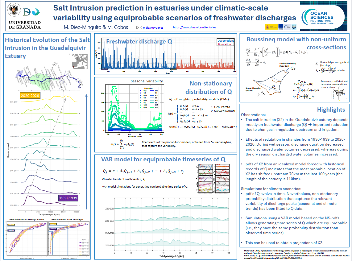
Manuel Díez‑Minguito participated in the Ocean Sciences Meeting 2026 in Glasgow, presenting recent advances on the prediction of salt intrusion in estuaries under climate‑scale variability. The contribution focused on a novel statistical–dynamical framework to estimate the salinity intrusion reference point X2 using equiprobable, non‑stationary freshwater discharge scenarios.

The study applies this methodology to the Guadalquivir Estuary (Spain), a well‑mixed and strongly regulated system where freshwater releases play a key role in controlling salinity. Using an idealized cross‑sectionally averaged model, the team conducted a 100‑year hindcast simulation, revealing a bimodal probability distribution of X2: one mode associated with typical low‑flow conditions, and a second mode linked to high‑flow events that temporarily shift X2 seaward.

Results show that dam operations, particularly impulsive releases, exert a strong influence on the distribution of X2. A clear non‑stationary trend emerges over the century‑long simulation, with X2 gradually shifting upstream as freshwater availability declines.

To explore future conditions, the team generated synthetic river‑flow time series using a combination of non‑stationary probability distribution fitting and vector autoregressive modelling, producing equiprobable discharge scenarios consistent with projected climate trends. These series enabled climate‑scale projections of X2 up to the year 2100, capturing long‑term tendencies and uncertainty in freshwater inputs.

This work provides a robust framework for anticipating salinity intrusion under changing hydrological regimes

environmentaltools: An Open-Source Tool from the Barrier Project for Environmental Analysis

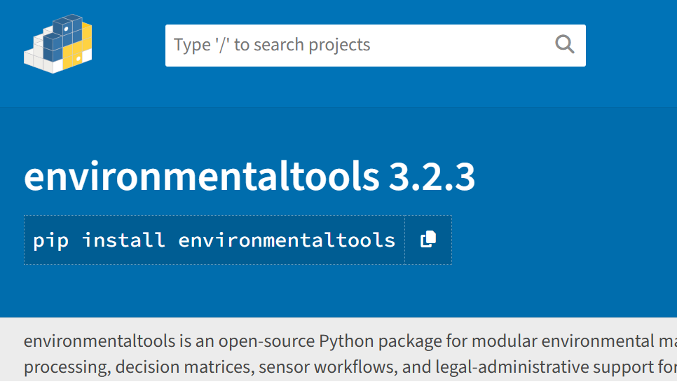
We’re excited to announce that environmentaltools, a Python-based toolkit developed as part of the Barrier project, is now publicly available as a free and open-source package on PyPI, with full documentation hosted on Read the Docs.

What is environmentaltools?

environmentaltools is a comprehensive Python package for environmental data analysis and visualization. Developed within the Barrier project and by the Environmental Fluid Dynamics Group (GDFA) at the University of Granada, it brings together specialized functions for tackling problems in maritime engineering, climate studies, hydrology, and environmental data science.

Its modular architecture includes:

  • 📦 Common module: utilities for reading/writing data, statistical analysis, and model handling.
  • 🌐 Download module: access to datasets from CORDEX, Google Earth Engine, OpenStreetMap, Marine Copernicus (ERA5), and more.
  • 🚁 Drone module: tools for scan pattern generation, mission planning, and integration with other modules.
  • 📊 Graphics module: spatial visualizations, regime analysis, joint distributions, and process plots.
  • 🌊 Process module: wave analysis, load functions, file generation, and specialized calculations.
  • 🗺️ Spatial module: geospatial analysis and spatial data manipulation.
  • 📈 Spectral module: spectral and harmonic analysis (e.g., tides), prediction, and time series reconstruction.
  • 🕒 Temporal module: statistical fitting, simulations, regime analysis, classification, and copulas.
  • 🌍 Spatiotemporal module: Bayesian analysis, threshold-based indicators, multicriteria evaluation, and raster processing.

This structure allows users to perform everything from basic data handling to advanced environmental modeling, with a focus on reproducibility, flexibility, and scientific rigor. It’s built to be lightweight, extensible, and easy to integrate into scientific, technical, and educational projects.

You can install it via PyPI: pip install environmentaltools and you can find the Documentation on: https://environmentaltools.readthedocs.io

Commitment to Open Science

By releasing environmentaltools as open-source software, the Barrier project reinforces its commitment to transparency, reproducibility, and interdisciplinary collaboration. We hope this tool will serve as a bridge between researchers, educators, environmental professionals, and decision-makers.

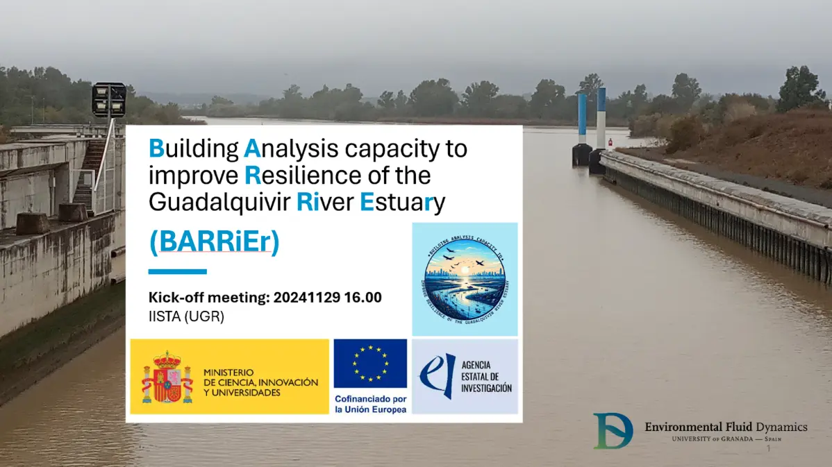
Project BARRIER Kick-off Meeting

Project Barrier kick-off meeting

On November 22, the kick-off meeting for the project «Building Analysis Capacity to Improve Resilience of the Guadalquivir River Estuary (BARRIER)» was held at the Andalusian Interuniversity Institute for Earth System Research of the University of Granada (UGR). The meeting was attended by national researchers Manuel Cobos (IP, UGR), Asunción Baquerizo (UGR), Manuel Díez Minguito (UGR), Andrés Payo (at British Geological Survey), and Pedro Otiñar Morillas (UGR), as well as international researchers Rodolfo Silva Casarín (Universidad Nacional Autónoma de México) and Marcus Silva de Santana (UGR).

The discussion generated during the event was documented by the communication team from Terceto (Laniakea).